408
Characterization of Ecosystem Services in an Area of Orinoquia's Foothills
A local perspective of biodiversity and well-being
Talía WaldrónInstituto Alexander von Humboldt Julián Díaz-TimotéInstituto Alexander von Humboldt Juan Camilo González VargasFundación Reserva Natural La Palmita, Centro de Investigación María Isabel Vieira MuñozInstituto Alexander von Humboldt Carolina Mora-FernándezFundación Reserva Natural La Palmita, Centro de Investigación María PinzónFundación Reserva Natural La Palmita, Centro de InvestigaciónWhat does a local person need to live well? What natural resources are necessary in his or her daily life? What are the consequences of their use in terms of conservation?
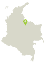
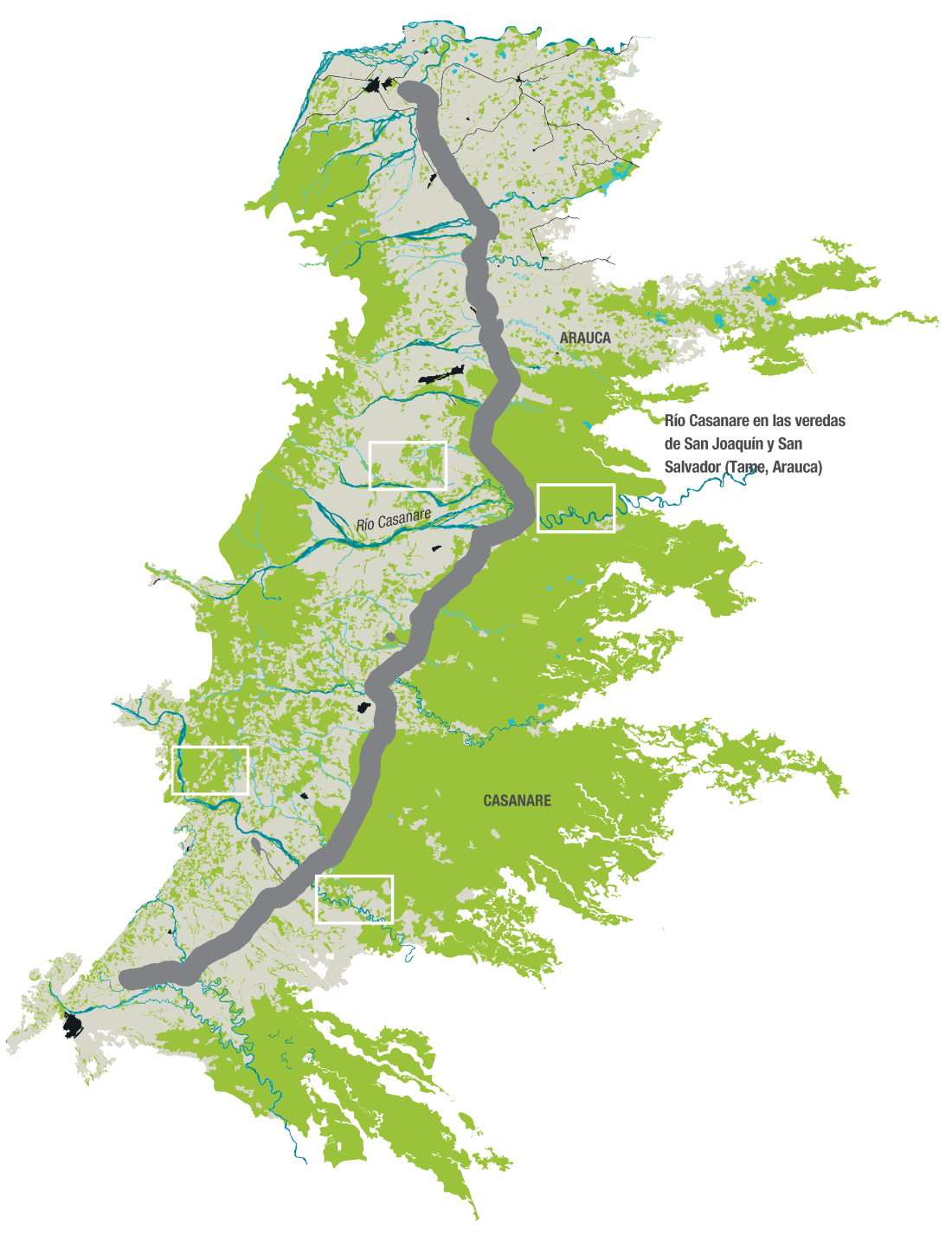
Location of study area and prioritized areas
prioritized areas
Bicentenario Pipeline
Land covers
Artificial territories
Agricultural territories
Forests and semi-natural areas
Wet areas
Bodies of water
PROVISION SERVICES
COMMERCE
Crops (plantain and rice)
Cattle raising
Hunting and fishing
Wood
Irrigation
Hydration, trough
Tourism
FOOD
Hydration, trough
Irrigation
Hunting and fishing
Cattle raising
Subsistence crops (manioc, corn, plantain, papaya)
FUEL
wood (fuel)
REGULATION SERVICES
flooding prevention
flooding prevention
CULTURAL SERVICES
recreation, tourism, and transport
recreation, tourism, and transport

THE COMMUNITY AND ITS RELATIONSHIP TO THE TERRITORY
The community in the villages of San Salvador and San Joaquín in Tame (Arauca) identified the places they used and in which they performed key activities in everyday life. These areas define the people's well-being and in turn are understood as ecosystem services (standardized with IVBES)6. For each area in use (Casanare river, marshes, river banks, savannas, and streams) 15 activities were recognized and classified as ecosystem services. The river and streams are areas in use in which the greatest number of activities take place.
Although the community highlights their typical work in the savanna and cattle raising as important parts of their identity, most of the population is identified with the activities that occur in the banks of rivers and streams. So the river and its banks are considered as the principal living space in which basic elements for well-being are produced, social relations are intertwined, and the ecosystems are managed.
In the last 30 years, the inhabitants of these villages have experienced great changes in their economic and organizational structure. In the past, their subsistence economy was centered on hunting, fishing, cattle raising in community-shared savannas, and the trading of salt through community banks. Salt was transported and sold along the rivers, making them places of community encounters. After the construction of the highway that connects Arauca to the southern parts of the country in 1990, other products such as bush meat and fish began to take part of the local commerce, changing the way in which these resources were used. Between 2002 and 2005, social, economic, and cultural dynamics were determined by the then intensified armed conflict. This phenomenon changed existing relations of power and the access to ecosystem services. It also ruptured community bonds of solidarity and reciprocity, forcing many inhabitants to abandon their lands.
 DOWNLOAD FILE IN JPG